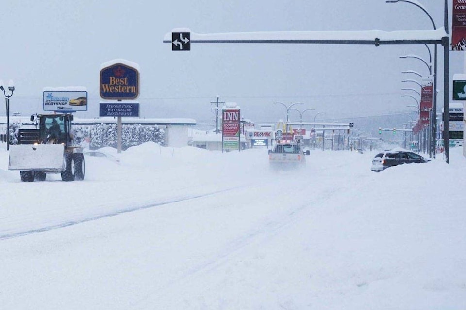
Residents of the East Kootenay region are being cautioned by Environment Canada to only travel if necessary on Monday, as a winter storm is expected to roll through the area.
Environment Canada has issued a major storm warning for East Kootenay, south including Cranbrook.
“A deepening Pacific low will make its way across Washington state during the day then will cross the southeast corner of B.C. tonight,” says the warning from Environment Canada. “Abundant moisture associated with the system combined with cold air to the north of its trajectory will produce heavy snowfall across the southern interior of British Columbia.”
Snow has already begun to fall and will become heavier this evening, tapering off Tuesday morning.
15 to 25 centimetres of snow is expected across southeastern B.C., and up to 40 centimetres of snow is expected for the Kootenay Pass.
Over the southernmost regions, precipitation may change to rain this evening which will limit the snowfall amounts locally, Environment Canada says.
Drivers are asked to consider postponing non-essential travel until conditions improve.
READ MORE: Wild winter, drastic swings in store for Canada this year: Wether Network
corey.bullock@cranbrooktownsman.com
Like us on Facebook and follow us on Twitter
Want to support local journalism during the pandemic? Make a donation here.