The Evacuation Alert for 11 Hosmer properties has been lifted and water levels around the Elk Valley are receding following flooding events across the province.
The Hosmer Evacuation Alert was initially issued on Nov. 15 and was lifted as of 2 p.m. Wednesday, according to Regional District of East Kootenay (RDEK) information officer, Loree Duczek.
“Last night we received approval to undertake some in-stream work and immediately started working to remove debris at the confluence of Hosmer and Mine Creek to re-establish creek flow.”
The in-stream work is now complete and the contractor will remain on-site doing some final cleanup.
By Wednesday morning, Mine Creek had dropped by almost two feet, Duczek said.
“While residents are still dealing with some standing water and pumping water from basements, the situation has stabilized to the point where we are able to rescind the Evacuation Alert.”
READ MORE: Flooding causes chaos, extensive evacuations and power outages for thousands in B.C.
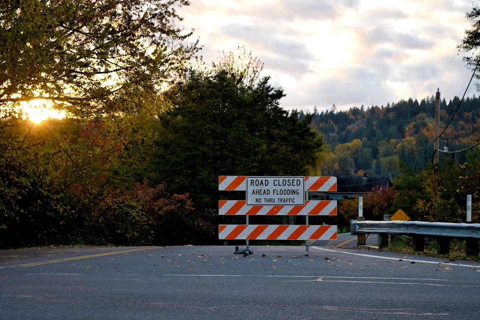
Water levels are continuing to recede in other areas of the Elk Valley, and creek levels on Cokato Creek and Coal Creek have decreased since Tuesday.
“The Ministry of Transportation and Infrastructure continues to work to complete repairs on Cokato Road, which remains closed at the intersection of Thompson Road. Residents can access Cokato from both the north and south sides; however, the road itself is impassable at Thompson Road and is expected to remain closed for at least a few days.”
Three sections of Cokato Rd. were initially completely compromised by flooding or mudslides, a Nov. 16 press release from Duczek says.
“Two of the three accesses, at the intersection of Robinson Road and near the cattle-guard at Morrissey, are now passable and open to local traffic.”
Hwy 3 is still closed in both directions four kilometres east of Fernie due to flooding from Hartley Creek. There is a detour via Dicken Rd. It is not yet known how long that detour will remain in place.
Duczek said that the first step for flood-impacted property owners is to contact their insurance companies.
“Take photos of any damage to your home and properties, keep all receipts associated with the clean up, and fill out a property damage report on engage.rdek.bc.ca. If your well or septic field were inundated with flood waters, it is also important to follow up with a certified septic practitioner and shock your well. Interior Health also recommends having your water tested by a qualified lab to ensure it hasn’t been affected.”
Having receipts, photos, and details about damage and clean up costs will be important in the case that the weather event qualifies for Provincial Disaster Financial Assistance, she said.
Flood-related resources can be found at the RDEK’s website. The district is asking anyone in the region who has experienced damage to their home or property due to flooding from the recent storm to fill out a form. A property damage report form can be found here.
“While the situation today has stabilized, it remains important for residents to maintain awareness about current conditions and use extreme caution in and around creeks and waterways as they may be highly unstable. We are asking everyone to obey local closures on roads and trails. They are in place for your safety,” Duczek said.
READ MORE: Experts say B.C. rainstorms highlight increasing flood risks and need to prepare
@fishynewswatch
josh.fischlin@thefreepress.ca
Like us on Facebook and follow us on Twitter.