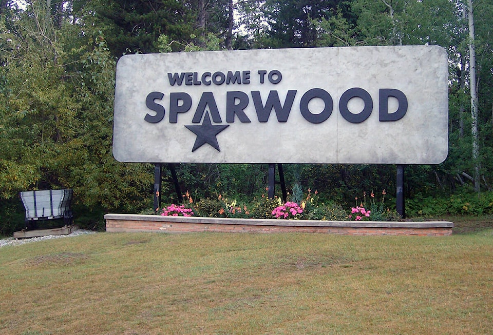
The Sparwood area saw a slew of warm weather this week, breaking high temperature records successively every day since Sunday (Nov. 28).
That’s according to Geoff Coulson, a warning preparedness meteorologist with Environment and Climate Change Canada.
“I think it’s certainly linked to the series of very strong storm systems coming in off the Pacific, that led to significant amounts of rainfall over parts of coastal B.C. and the southwest interior on the weekend.”
A second powerful storm system also gave lots of rainfall and snowfall in some higher elevated areas from early morning Tuesday into early Thursday.
“As these systems have progressed from the coast inland, they’ve brought with them a lot of warm air. And that warm air certainly realized in single day high temperature records being broken in southeastern B.C., but also in the interior.”
READ MORE: South coast cities record wettest fall on record as atmospheric river drenches B.C.
For the Sparwood area, which has records going back to 1969, the past week’s numbers are as follows.
On Sunday, Nov. 28, temperatures reached 9.2 degrees Celsius, beating the old record of 6.1 from 1995.
On Monday, Nov. 29, there was a daytime high of 9.4 degrees. That beat the old record of 7.5 degrees in 1995.
On Tuesday, Nov. 30, the high was 7.6 degrees, which surpassed the old record of 6.2 in 1995.
On Wednesday, Dec. 1, the daytime high was 11.2 degrees, with the old record at 10.2 set in 2008.
On Thursday, Dec. 2, temperatures reach 10.3 degrees, beating the old record of 6.2 set in 1988.
For Friday, the forecasted high is +1 degree. The historical record for Dec. 3 is 6.8 degrees in 1988.
“What’s been happening in Sparwood certainly reflected throughout many parts of the interior of British Columbia. A number of temperature records being broken right across the province.”
The record-breaking daytime highs began to be clocked in towards the end of November, but the peak occurred on Wednesday, Dec. 1, with “a whole slew” of places breaking records across the province, adding up to 30 sites.
“That was when Penticton got up to an incredible 22.5 for the high temperature. That actually broke a record for the warmest December day ever in British Columbia.”
That previous provincial record was in Lillooet, on Dec. 3, 1933, when the high hit 22.2 degrees.
Moving forward, more seasonal temperatures are expected to return to the Fernie and Sparwood area, and maybe even a little colder than normal moving into the first full week of December.
“Normal highs for the area at this time of year should be -4, normal overnight lows -11. And by early next week we’re looking at daytime highs, -6, -7, overnight lows between -11 and -15. So… a little colder than normal after that stretch of record breaking warm.”
A system is expected to come through starting Friday (Dec. 3) night and continuing through the day on Saturday. A general snowfall amount prediction is set at 5-10 centimetres falling throughout Saturday, with a couple more centimetres likely to be added through the night, he said.
“Certainly, given this shift in the weather pattern, it’s a good idea to remind folks to be dressing for the conditions now that the colder air has returned, and certainly anyone planning travel in the area is going to want to be factoring in that snowfall and drive according to the condition.”
READ MORE: ‘Weather whiplash’ ahead as Canada enters winter, Weather Network says
@fishynewswatch
josh.fischlin@thefreepress.ca
Like us on Facebook and follow us on Twitter.
